582 Main Street  ·  Chatham, MA 02633  ·  (508) 945-6450

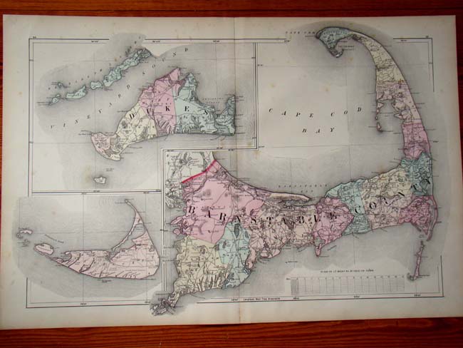
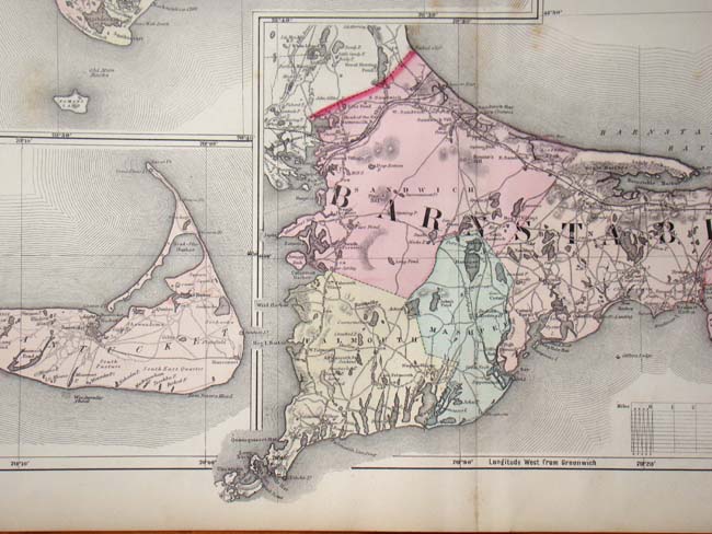
A Map of Cape Cod, Nantucket and Martha's Vineyard by Walling and Gray printed in 1871.

SOLD

Original hand colored map from The Atlas of Massachusetts published in 1871. Elegantly framed and matted measuring 30 1/2" by 22 1/2".
Category
Antique Paintings, Maps, Documents, Photos
Item No.
KFA-6352