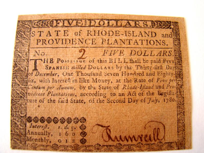
582 Main Street  ·  Chatham, MA 02633  ·  (508) 945-6450

An 18th century map entitled "The State of Massachusetts from the Best Information 1796"

SOLD

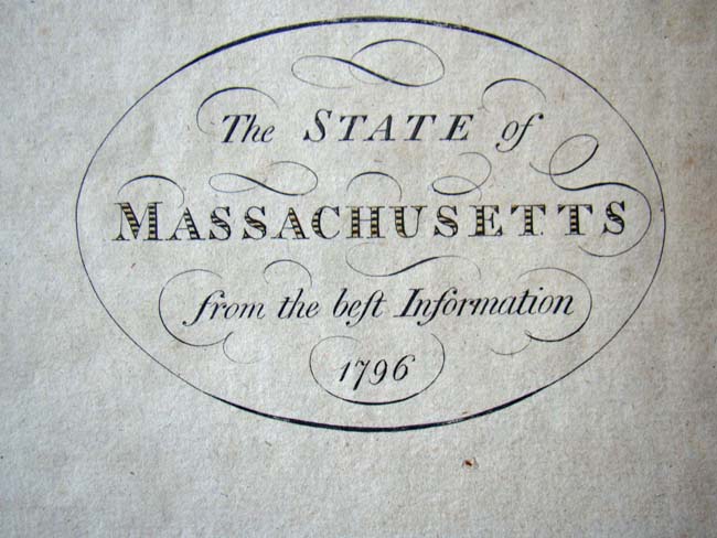
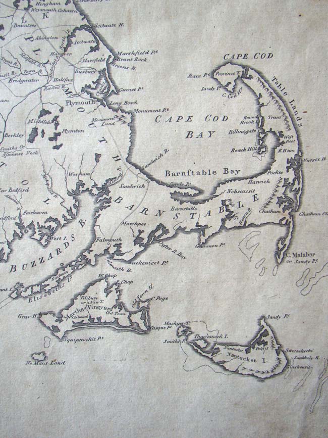
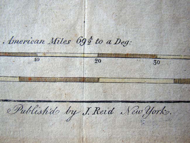
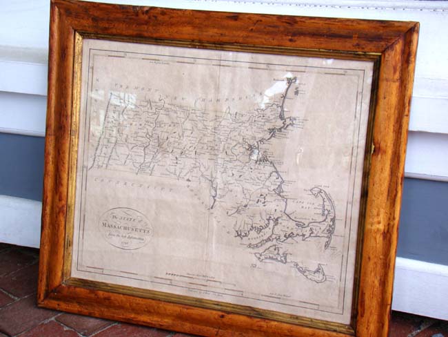
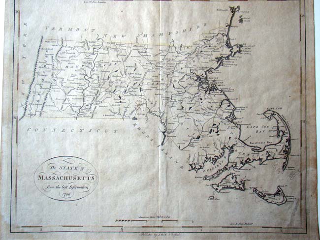
This fine 18th century map comes in a 19th century walnut frame which measures 15 1/2" by 19". The map was published by J. Reid of New York.

Category
Antique Paintings, Maps, Documents, Photos
Item No.
KFA-6363