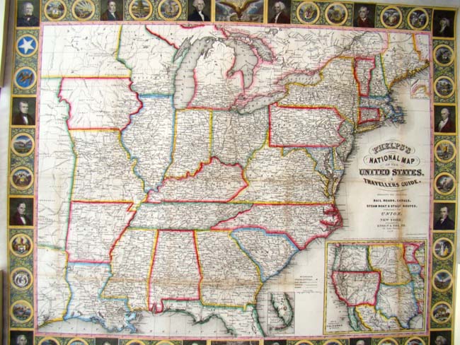
CLICK TO ENLARGE
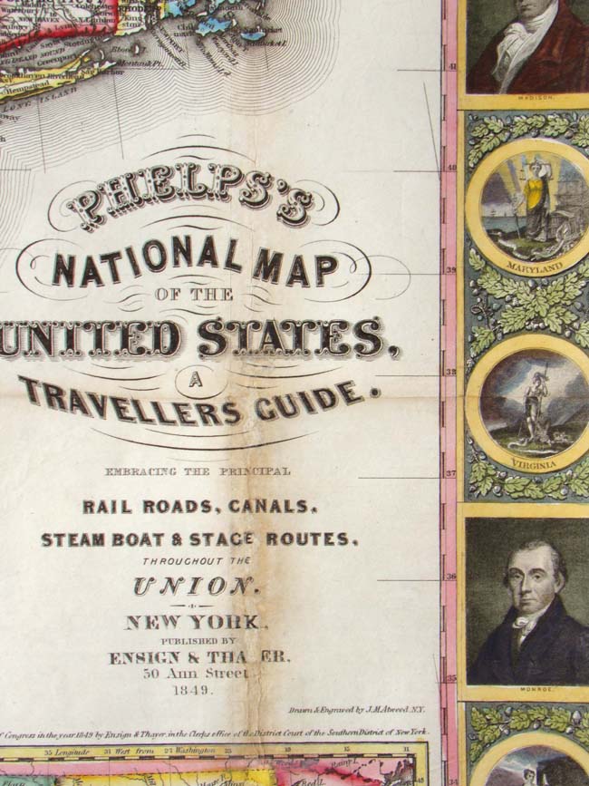
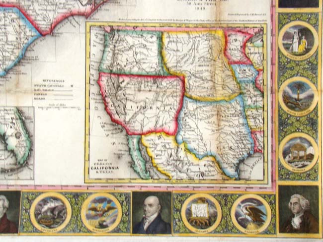
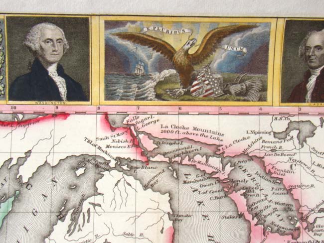
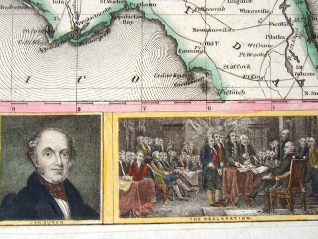
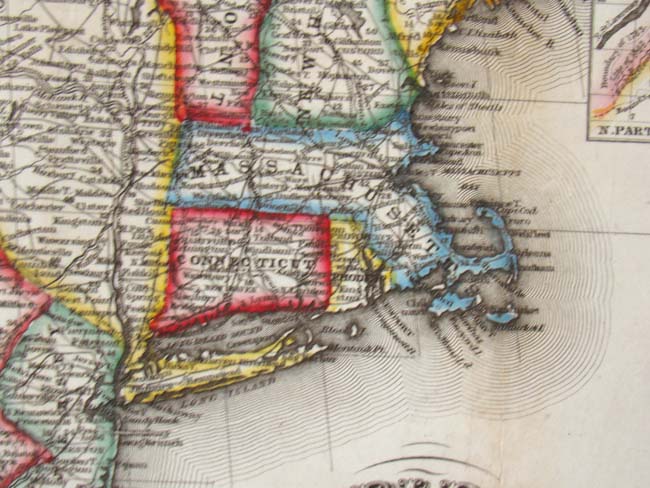
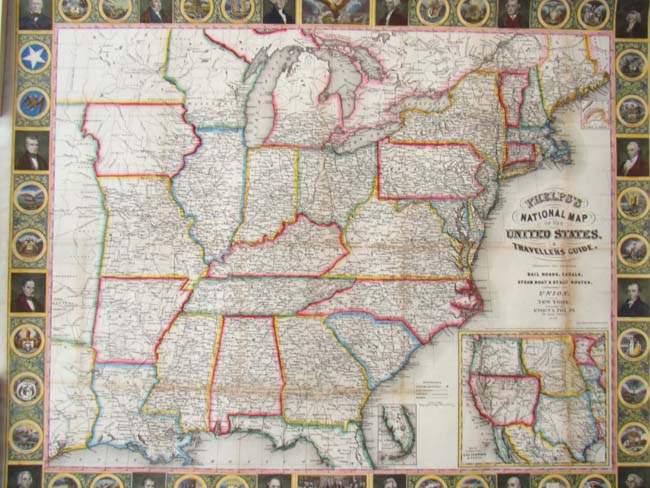
This is one of the most decorative and attractive Maps of the United States ever produced. The border is profuse with portraits of all the Presidents, the state seals and vignettes of important historical events in American history. The colors in this map are as bright and vibrant as they were the day this map was printed in 1849. The map includes all the principal rail roads, canals, steam boat and stage routes. The map itself measures 22" by 26 1/2" and is now in a museum quality custom frame with UV protected glass.