CLICK TO ENLARGE
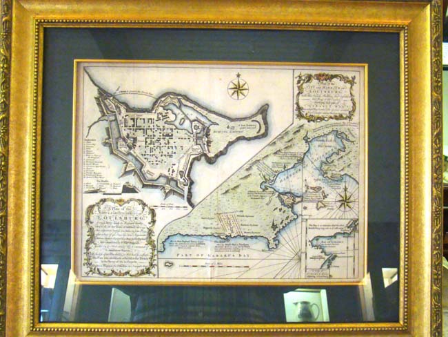
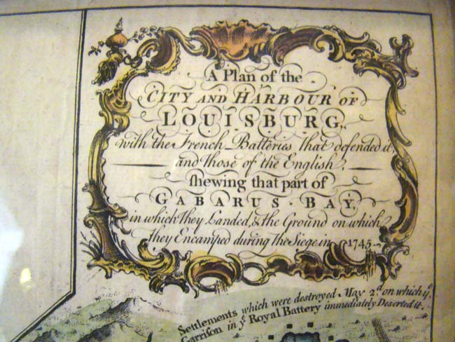
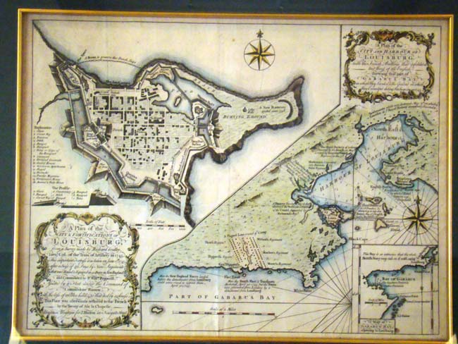
The full title is "A Plan of the City & Fortifications of Louisberg with the French Batteries that defended it and those of the English. This important fortress was taken on June 17, 1745 after a siege of 49 days by nine Regiments that were raised & equipped in New England and commanded by Sir William Pepperill assisted by a Fleet under the command of Commodore Warren. 101 men were killed: 30 died of sickness." This fine map was published in the Universal Magazine in May 1758. Framed and matted: 22 1/4" by 19".