582 Main Street  ·  Chatham, MA 02633  ·  (508) 945-6450

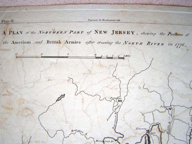
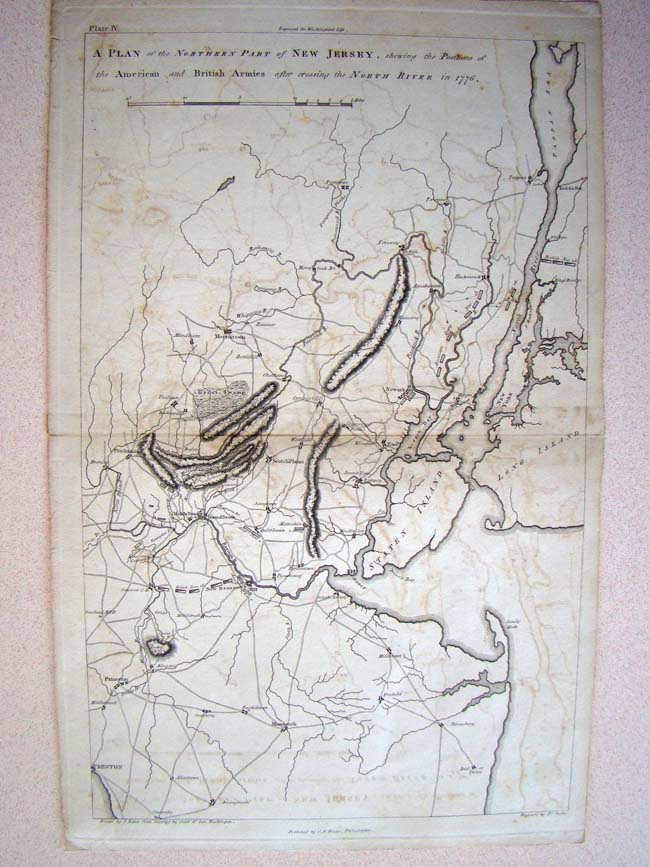
A Revolutionary War period map entitled "A Plan of the Northern Part of NEW JERSEY, showing positions of the American and British Armies after crossing the North River in 1776.' Published by C. P. Wayne, Philadelphia, in 1805

SOLD

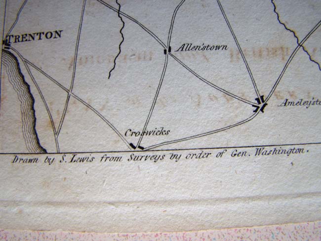
This fine original map was 'drawn from the Original surveys made by the order of Gen. Washington.' The map was published by C.P. Wayne, Philadelphia, circa 1805 for inclusion in the 'LIFE of Washington.'
Category
Antique Paintings, Maps, Documents, Photos
Item No.
KFA-0743