CLICK TO ENLARGE
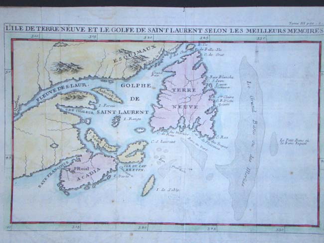
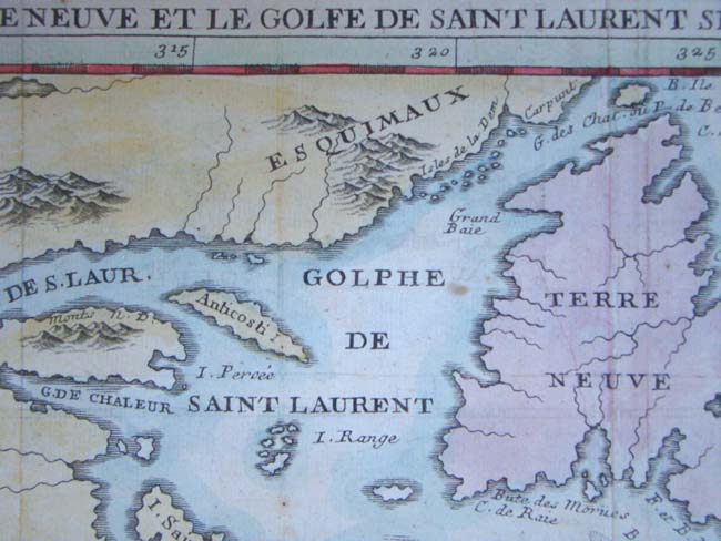
Entitled "L'Ile De Terre Neuve Et Le Golfe De Scint Laurent Selon Les Meilleurs Memoires," this is the first edition of this map which was originally part of "Recueil de Voyages au Nord." It appears to have been later hand colored and is unframed measuring 13" by 9 1/2".