The Collection
All Recently Sold Antiques and Works of Art
◆
Showing 2533–2544 of 5085 sold objects
in All Recently Sold Antiques and Works of Art — page 212 of 424
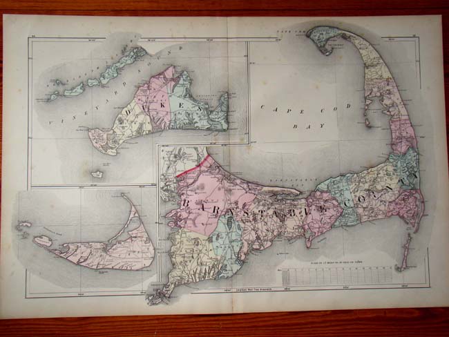
A Map of Cape Cod, Nantucket and Martha's Vineyard by Walling and Gray printed in 1871.
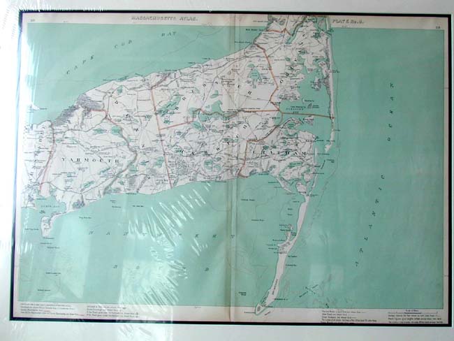
A Map of Chatham, Orleans, Brewster and Harwich taken from Walker's Massachusetts Atlas publ. in 1904.
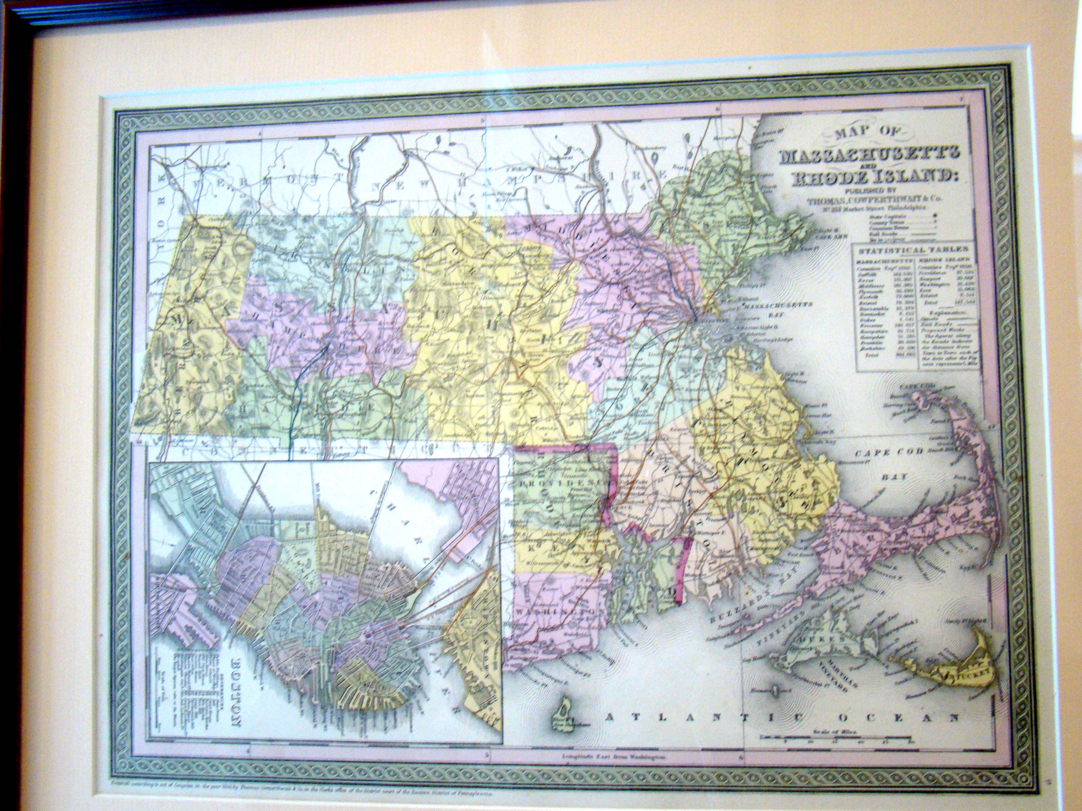
A Map of Massachusetts and Rhode Island by Thomas Cowperthwait of Philadelphia in 1850
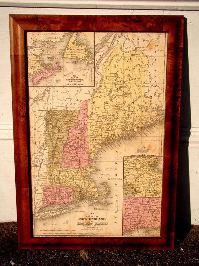
A Map of New England published by Augustus Mitchell in 1850
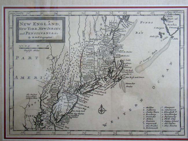
A Map of New England, New York, New Jersey & Pennsylvania by Hermann Moll and published in 1708
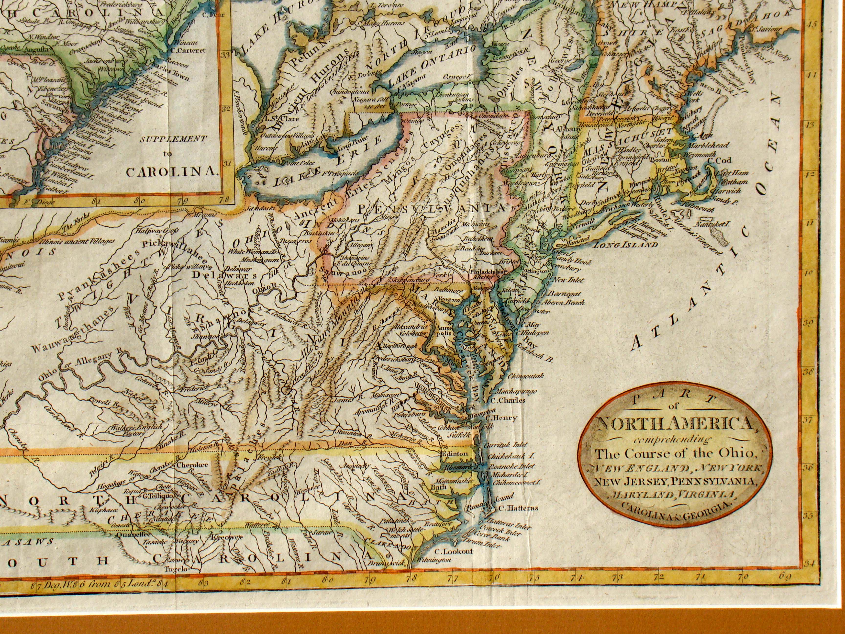
A Map of North America printed in 1789
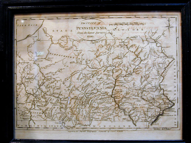
A Map of Pennsylvania Dated 1800 published by J. Low of New York for 'Paynes' Geography'
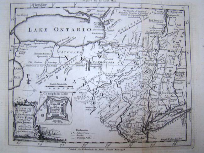
A map published in 1756 showing the "Eastern part of the Province of New York with part of New Jersey" by Thomas Kitchin
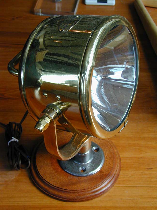
A Marine Search Light Circa 1930-1940
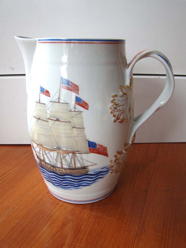
A Maritime Heritage U.S. Frigate Constitution porcelain pitcher by Mottahedeh
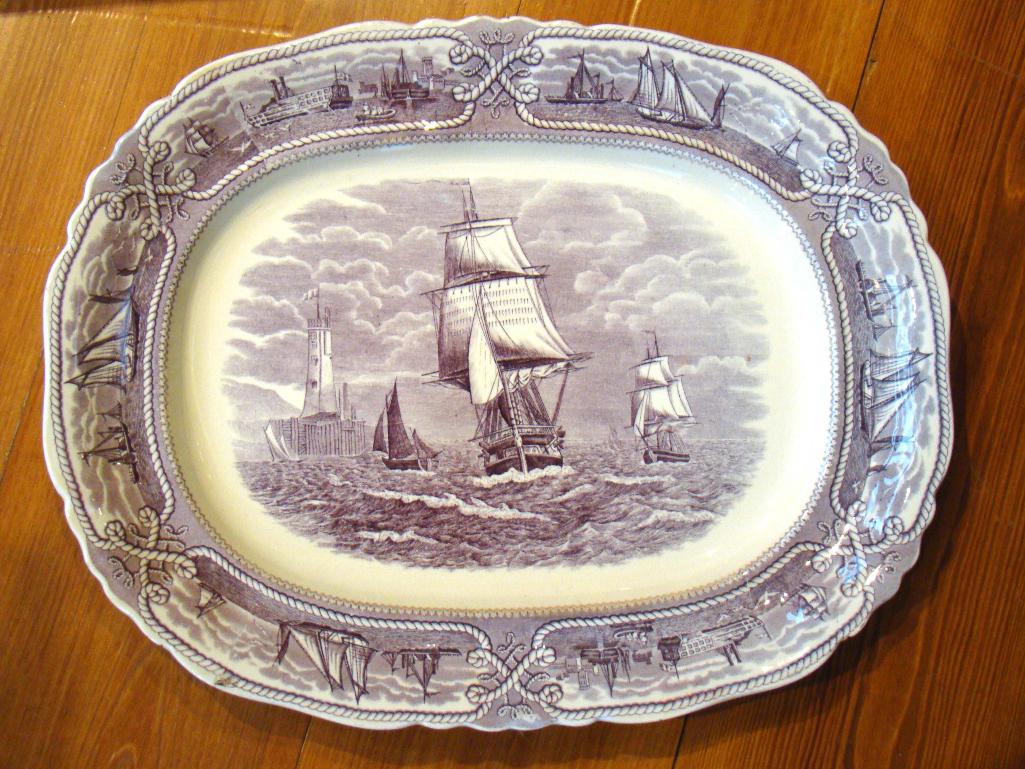
A Mason's Ironstone "American Marine" pattern serving platter (17" by 13 1/2") circa 1850