CLICK TO ENLARGE
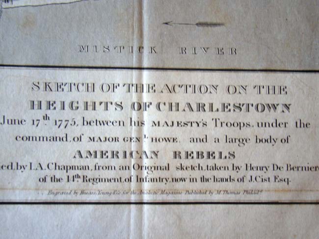
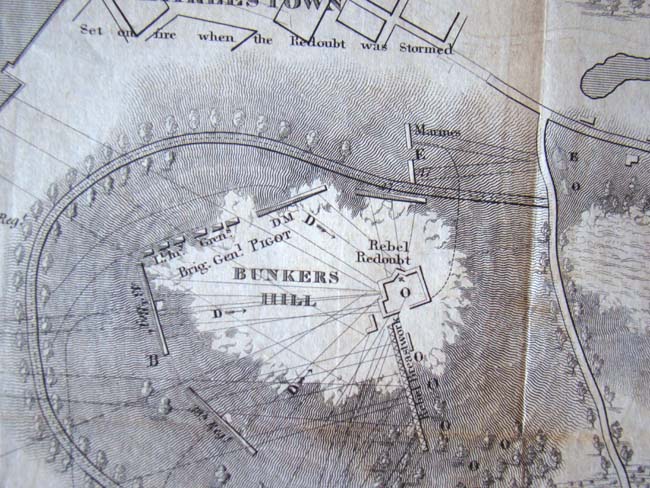
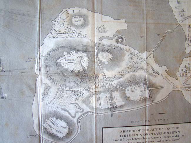
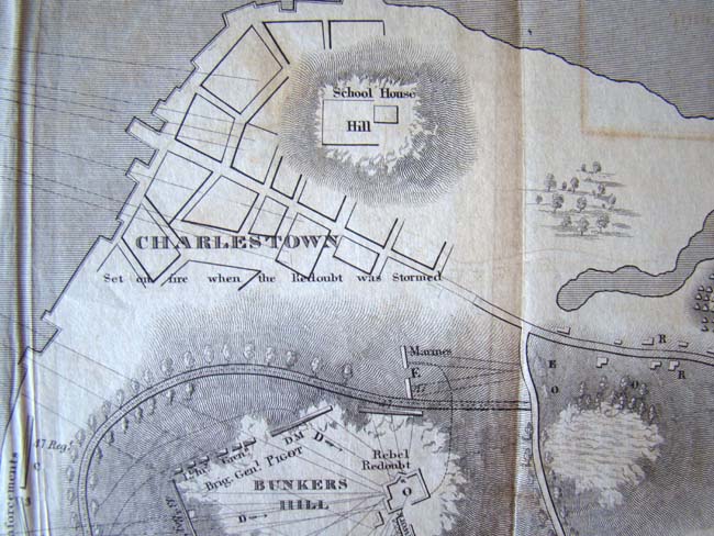
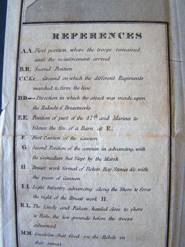
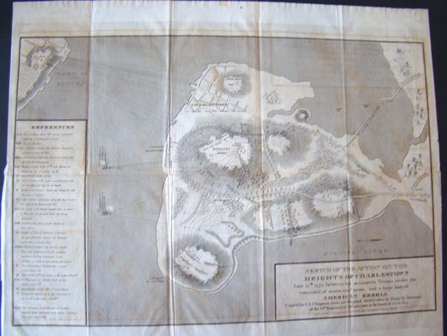
This map is entitled "Sketch of the Action on the Heights of Charlestown June 17th, 1775, between his Majesty's Troops, under command of Major General Howe, and a large body of AMERICAN REBELS." Copied by I.A. Chapman, from an original sketch, taken by Henry De Berniere of the 14th Regiment of Infantry, now in the hands of J. Cist, Esq. Unframed laid paper measuring 16 3/4" by 20 3/4"